| |
| The partial map below(right) shows farms in
the Alstaette Germany area as they were in 1842. This reprint
was published 1995. The original is in the "Staatsbibliothek
(state library) in Berlin". This card was drawn by a Prussian
officer by hand and illustrated the exact cartographic location
of "Münsterland" in 1842. Thank you to Karl Shulte for scanning
the reprint and sending it to us. |
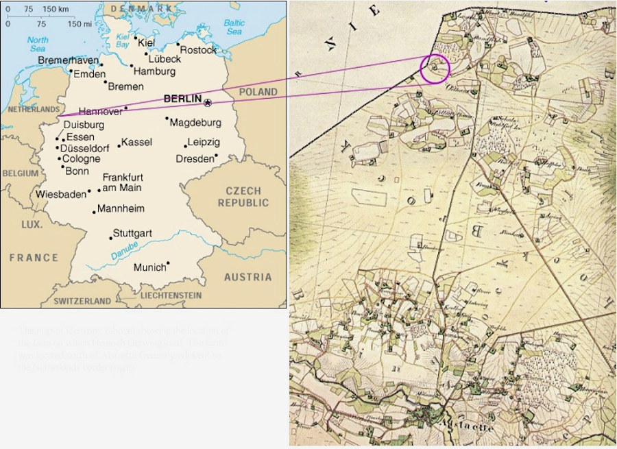 |
| The partial map of the area North of Alstaette (above right)
shows the location of the farm on which Heinrich Gerwing lived.
The farm was located North of Alstaette adjacent to the
Netherlands border as shown.The map on the left shows that
Heinrich lived in NW Germany. |
|
.. |
|
------------------------------------------------------------------------ |
| Current Day Map of
Munster Alstaette area |
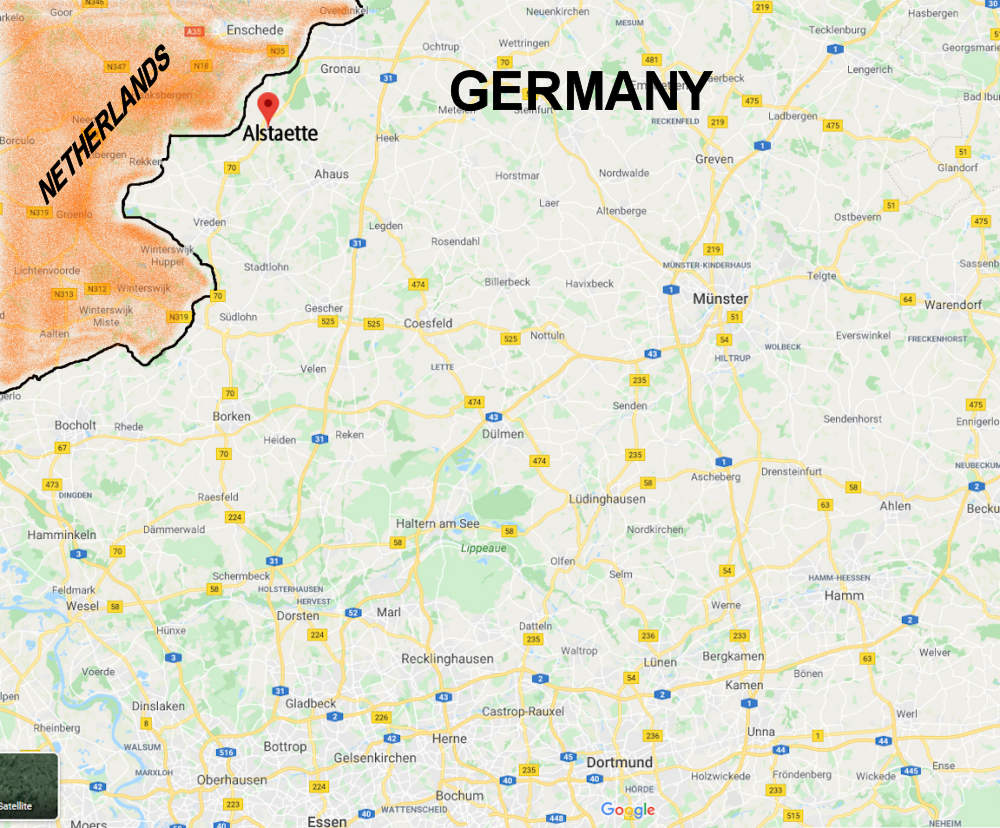 |
Approximate Distances:
Alstaette to Munster 60
km
Alstaette to Dortmund
120 km
Alstaette to
Germany-Netherlands border 2.5 km |